Mani Stones (嘛呢堆) are usually inscribed with the six syllabled mantra (唵嘛呢叭咪哞 / Om mani padme hum), and placed together to form mounds or cairns along the roadsides and rivers as a form of prayer in Tibetan Buddhism. Tibetans believe carvings on the rocks would last forever, indicating their mind to their god would never change. This picture was taken at Tung...
Pandanus tectorius (a.k.a. "Wild Pineapple" in Chinese) can be widely seen in outlying islands and along coastlines in Hong Kong, such as Tung Ping Chau, Grass Island and Wong Chuk Kok. It grows wild mainly in semi-natural vegetation in littoral habitats throughout the tropical and subtropical Pacific, where it can withstand drought, strong winds, and salt spray. It propagates readily...
Pat Sin Leng (八仙嶺) literally means "Eight Peaks of Immortals". It is a mountain range located in northeast New Territories and the highest peak is 591m. From Tolo Harbor, people can get a clear view of Pat Sin Leng's 8 stately peaks, named after 8 immortals in Chinese mythology: Shun Yeung Fung (純陽峰), Chung Li Fung (鐘離峰), Kuai Li Fung...
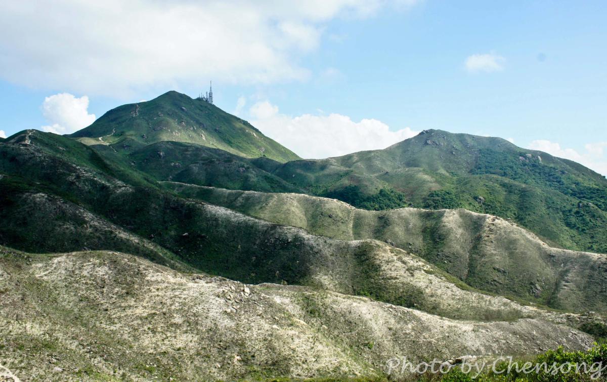
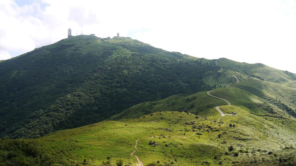
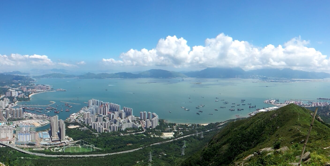
On top of Castle Peak in Tuen Mun, you can find one TV broadcast station and one military radar station left by British army. On a clear day, you not only can see Hong Kong International Airport across Victoria Harbor, but also the Deep Bay Bridge connecting Shenzhen and Hong Kong.
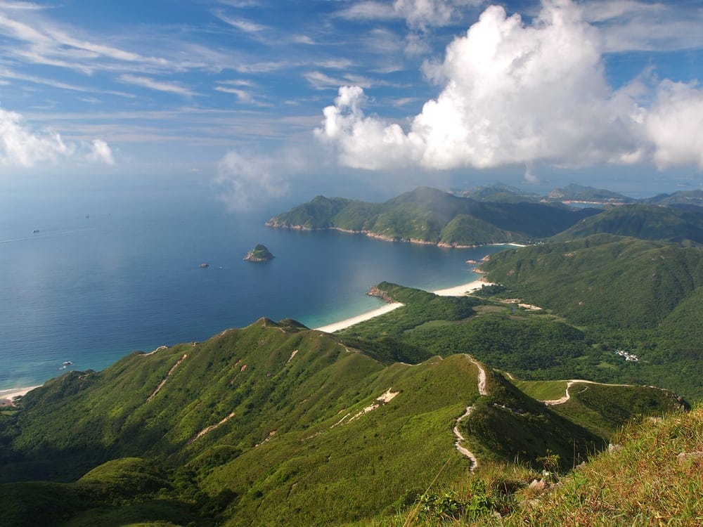
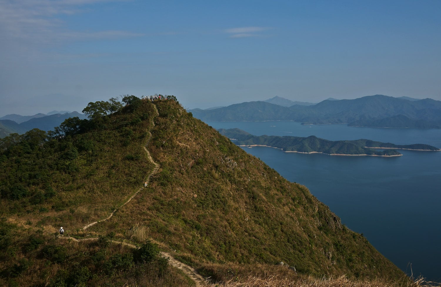
With a height of 468 meters above sea level, Sharp Peak is not even among the Top 10 highest hills in Hong Kong, but it is definitely one of the most popular hiking trails for experienced hikers. Literally, Sharp Peak (a.k.a. Nam She Tsim) in Chinese means the hill of snakes, showcasing the unique curve of its ridge, also indicating...
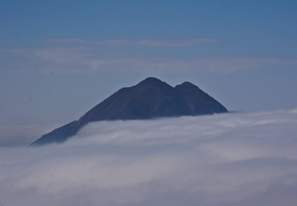
Tai Mo Shan (大帽山), literally, "Big Hat Mountain" (old name, "Big Fog Mountain"), is the highest mountain in Hong Kong (957m or 3140 feet). Most of the time during the year, the peak is covered by cloud and that is how the mountain got its name. Maclehose Trail Stage 8 passed by the peak of Tai Mo Shan. However, above...
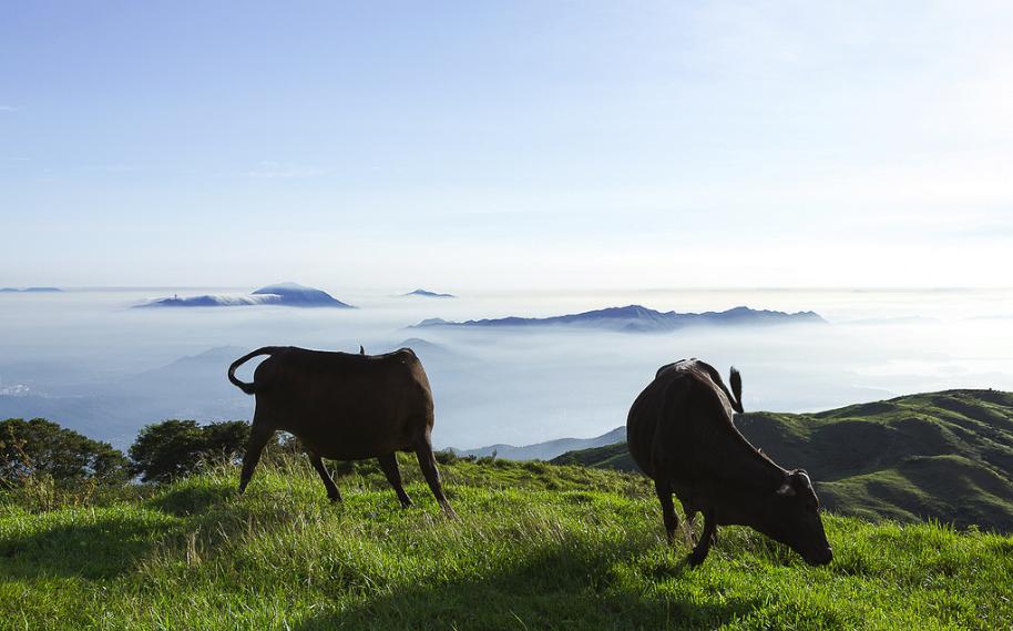
"This is not Hong Kong!" This is almost what everyone says when they saw this picture. Yes, this is the Hong Kong less traveled. Lantau Peak with a height of 934 m above sea level, is the highest mountain in Lantau Island, the second highest point in Hong Kong. The picture was taken on top of Sunset Peak or Tai...
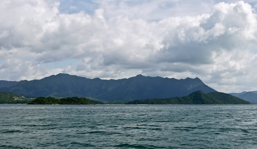
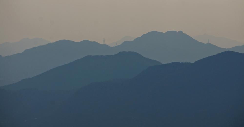
Standing on top of Pak Sin Leng (八仙嶺), across Tolo Channel (赤門海峽), you can see the mountain ridges on Ma On Shan Country Park. In Hong Kong, mostly likely you will have a foggy weather. Everything far away is like Chinese monochromes.
Literally, Tai Mei Tuk (大尾督) means "the very end" because the landscape is located at the end of Mount Pak Sin Leng. In ancient China, people depict the curve of the mountain ridge as "the vessel of the dragon". Anything on the "vessel" is a sign of good fortune. That's also why people living in Tai Mei Tuk wanted to...
Half way to the Castle Peak is the place to get a good view of Tsing Shan Wan. Beneath you foot, there are also Tuen Mun Typhoon Shelter, Butterfly Beach and Pillar Point. Castle Peak Bay is a bay outside Tuen Mun. Tuen Mun River empties into the bay. In the past, large amount of Tanka fishermen harbored at the bay.


