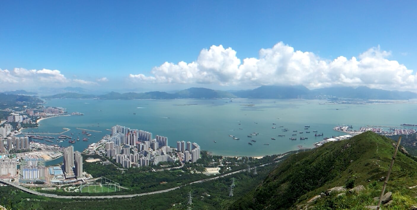
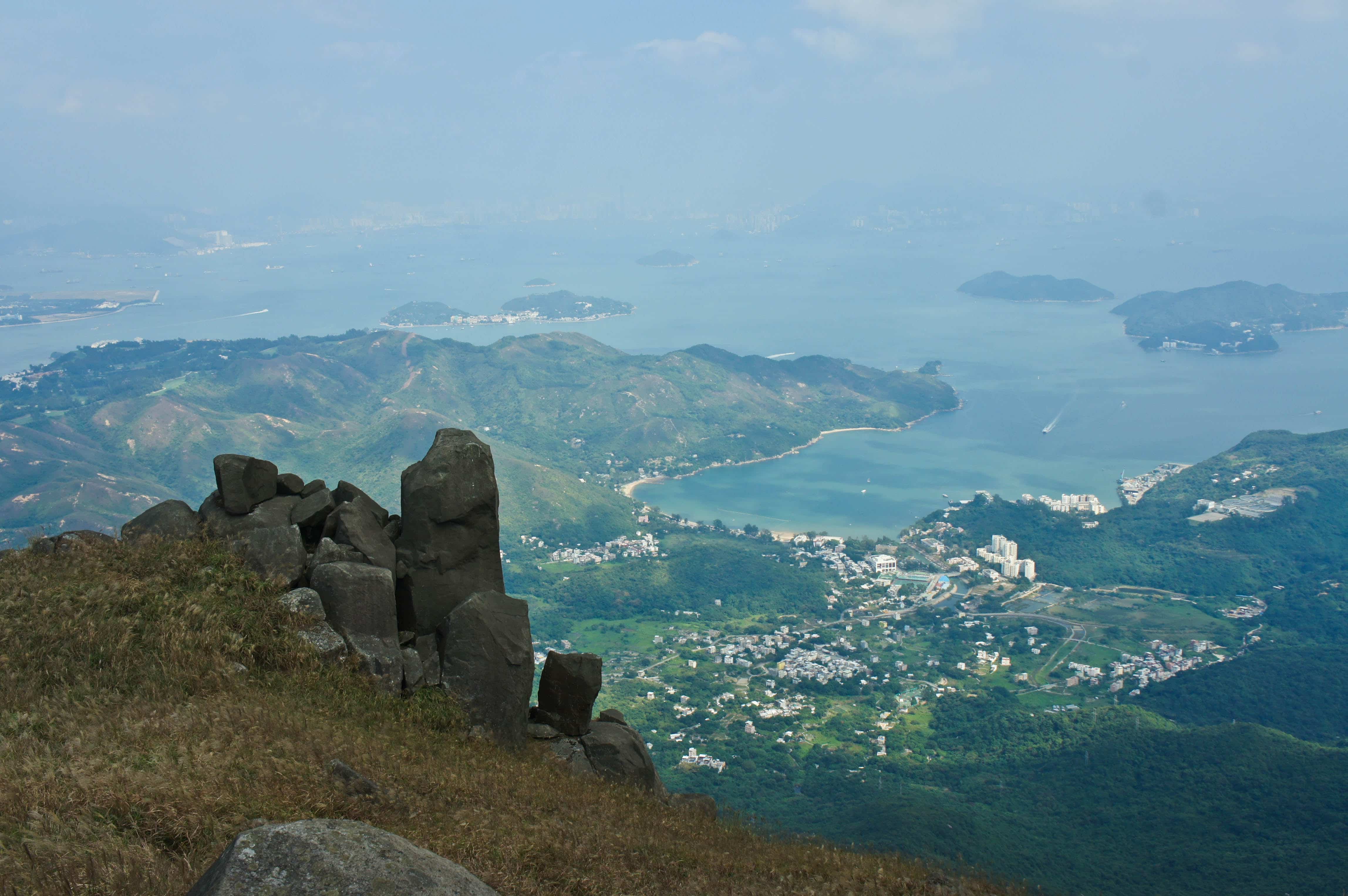
Half way to the Castle Peak is the place to get a good view of Tsing Shan Wan.
Beneath you foot, there are also Tuen Mun Typhoon Shelter, Butterfly Beach and Pillar Point.
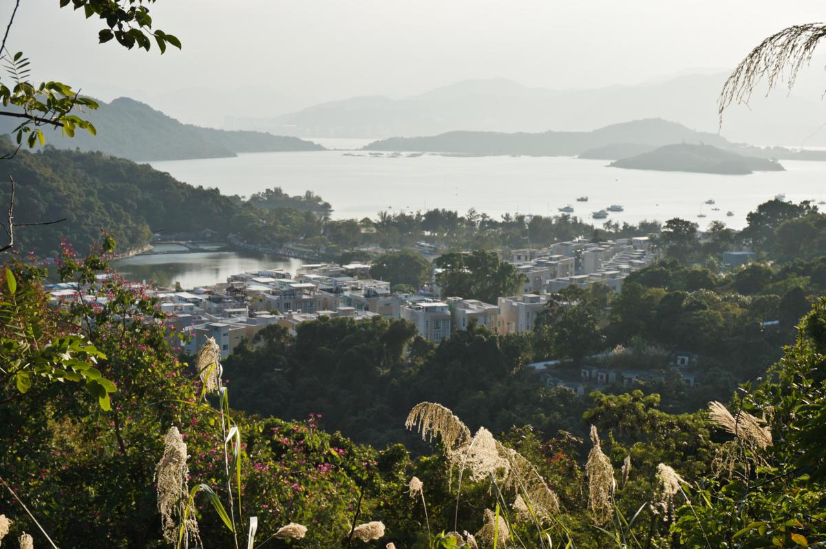
Castle Peak Bay is a bay outside Tuen Mun. Tuen Mun River empties into the bay. In the past, large amount of Tanka fishermen harbored at the bay.
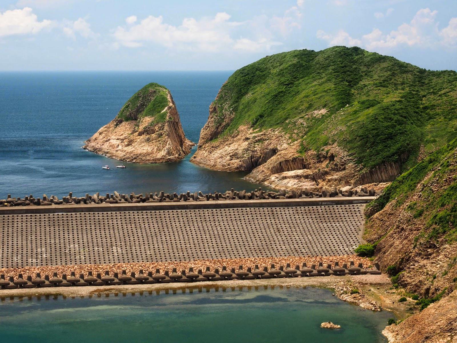
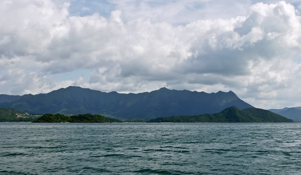
As the Chinese name implies, Po Pin Chau is an island cut away from the mainland. It was once a part of Fa Shan.
Po Pin Chau was formed in several stages. The impact of pounding waves on Fa Shan resulted in progressive erosion on the weaker rock strata until a sea cave was formed. Over time, the cave became...
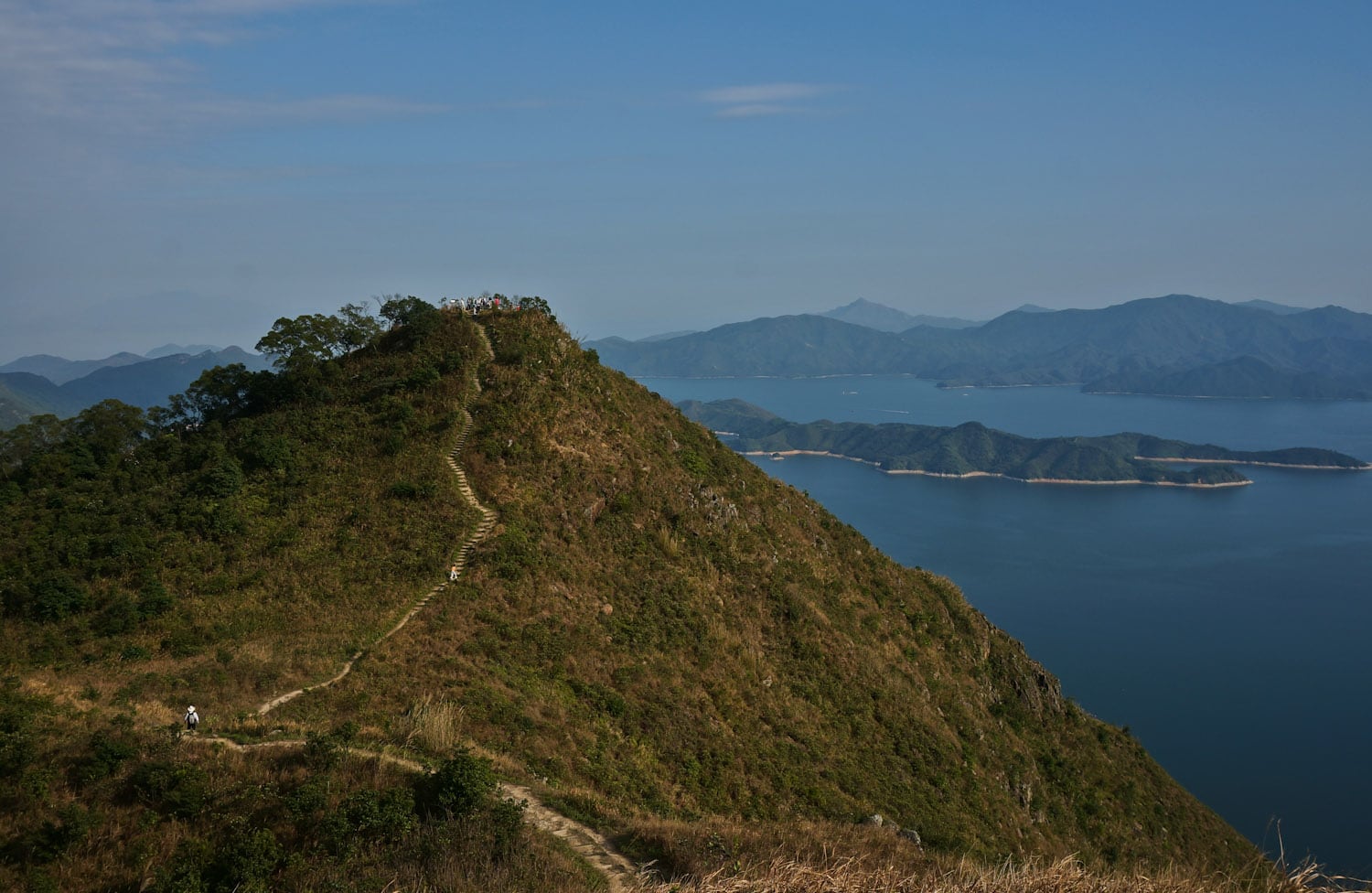
Hsien Ku Fung (仙姑峰) is at the east end of Pak Sin Leng mountain range and Wilson Trail Stage 9, and it is one of the best peaks to get a 360-degree view of the nature of northeast New Territories.
To the east is Plover Cove Reservoir, the first "reservoir in sea" over the world. Hikers can also see the Sharp...
Pat Sin Leng (八仙嶺) literally means "Eight Peaks of Immortals". It is a mountain range located in northeast New Territories and the highest peak is 591m.
From Tolo Harbor, people can get a clear view of Pat Sin Leng's 8 stately peaks, named after 8 immortals in Chinese mythology: Shun Yeung Fung (純陽峰), Chung Li Fung (鐘離峰), Kuai Li Fung...
Most hikers come to Lantau Island to conquer the Twin Peak (Lantau Peak and Sunset Peak). Although they are the highest mountains in Lantau Island, people can hardly see the Silver Mine Bay because it is blocked by Lin Fa Shan, the 6th highest hill in Hong Kong.
Lin Fa Shan is ignored by most people, but the scene on...
Literally, Tai Mei Tuk (大尾督) means "the very end" because the landscape is located at the end of Mount Pak Sin Leng. In ancient China, people depict the curve of the mountain ridge as "the vessel of the dragon". Anything on the "vessel" is a sign of good fortune. That's also why people living in Tai Mei Tuk wanted to...
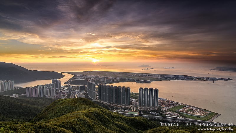
You can get a bird view of Tung Chung and Hong Kong International Airport near Por Kai Shan. I know the sunset is pretty, but you can view it elsewhere. Now let's focus on the screen-like 50- to 70-storey buildings standing in front of you, which can be found in cities with a high population density.
After the Hong Kong...
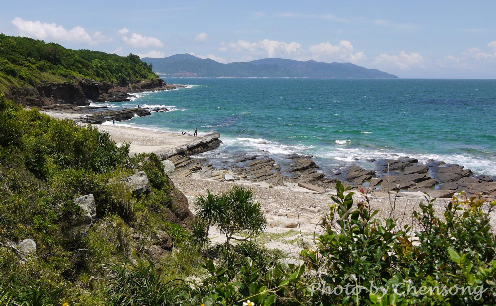
At the west coast of Tung Ping Chau, hikers can see an interesting geological phenomenon called "Dragon diving into the sea". The white rock strata lying obliquely on the coast looks like the backbone of a dragon and extends from the coast into the sea.
It is actually caused by differential weathering between rock strata consisting mostly of quartz and...
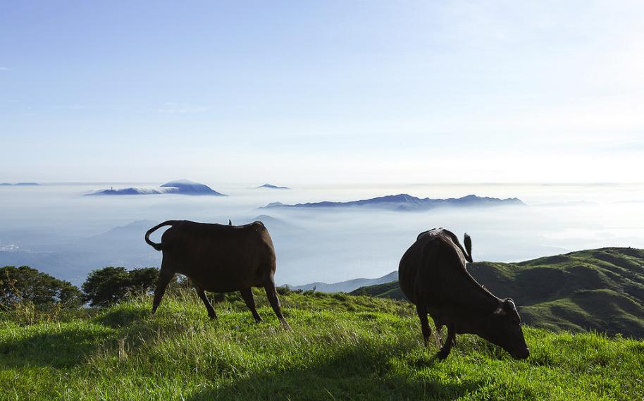
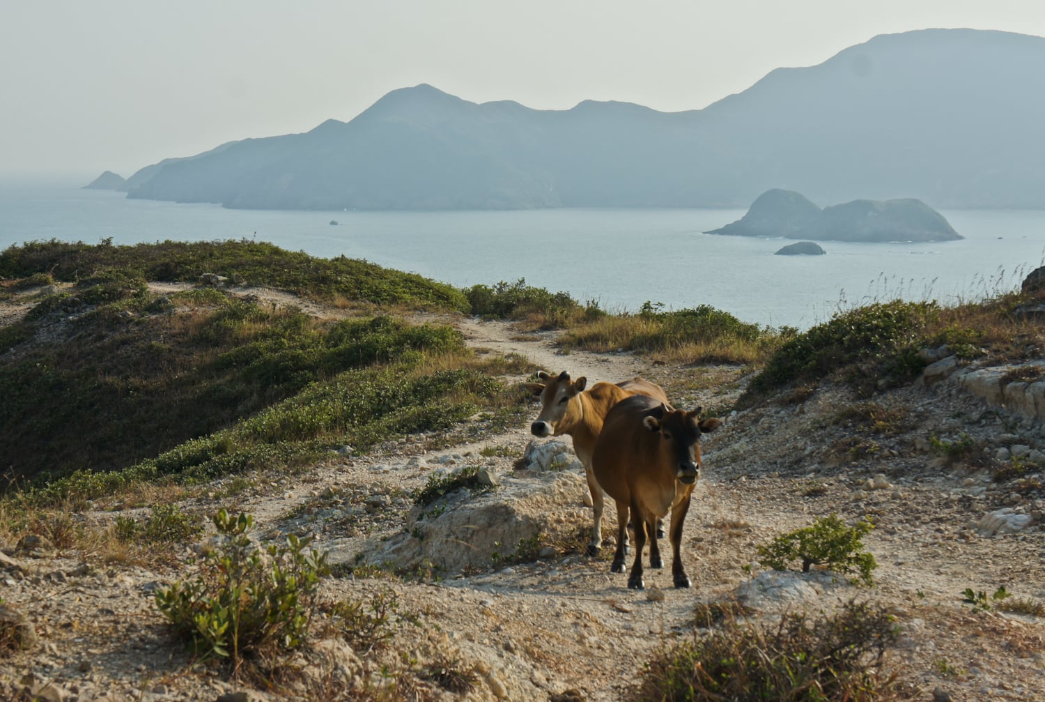
Hong Kong people call these feral cattle "stray cattle". Nowadays, there are around 100 buffaloes and 900 cattle in Hong Kong, walking around Lantau Island, Shing Mun Reservoir and Sai Kung, where it is rich in water and grass.
The "stray cattle" are usually abandoned by farmers who do not farm any more. When they wander the country parks, their...
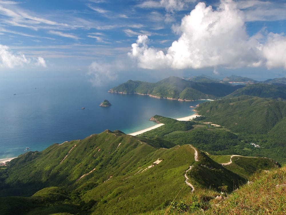
Tai Long Tsui is located at the fast east corner of Sai Kung East Country Park. Since it is far away from any kind of transportation, even on foot, you can rarely see people here.
You can spend half day here, tour around the whole peninsula, enjoy being alone, and disappear from the city...


