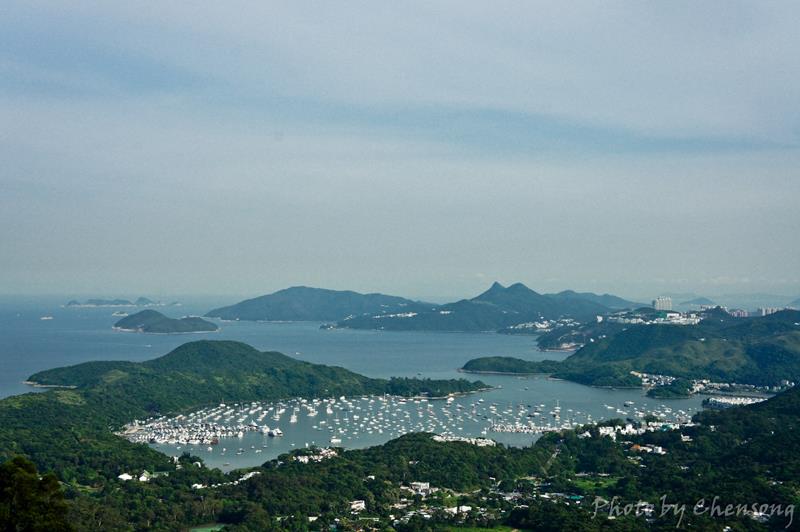
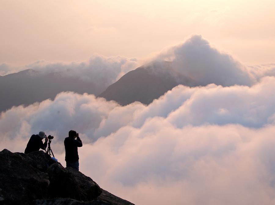
Believe it or not, it is Hong Kong!
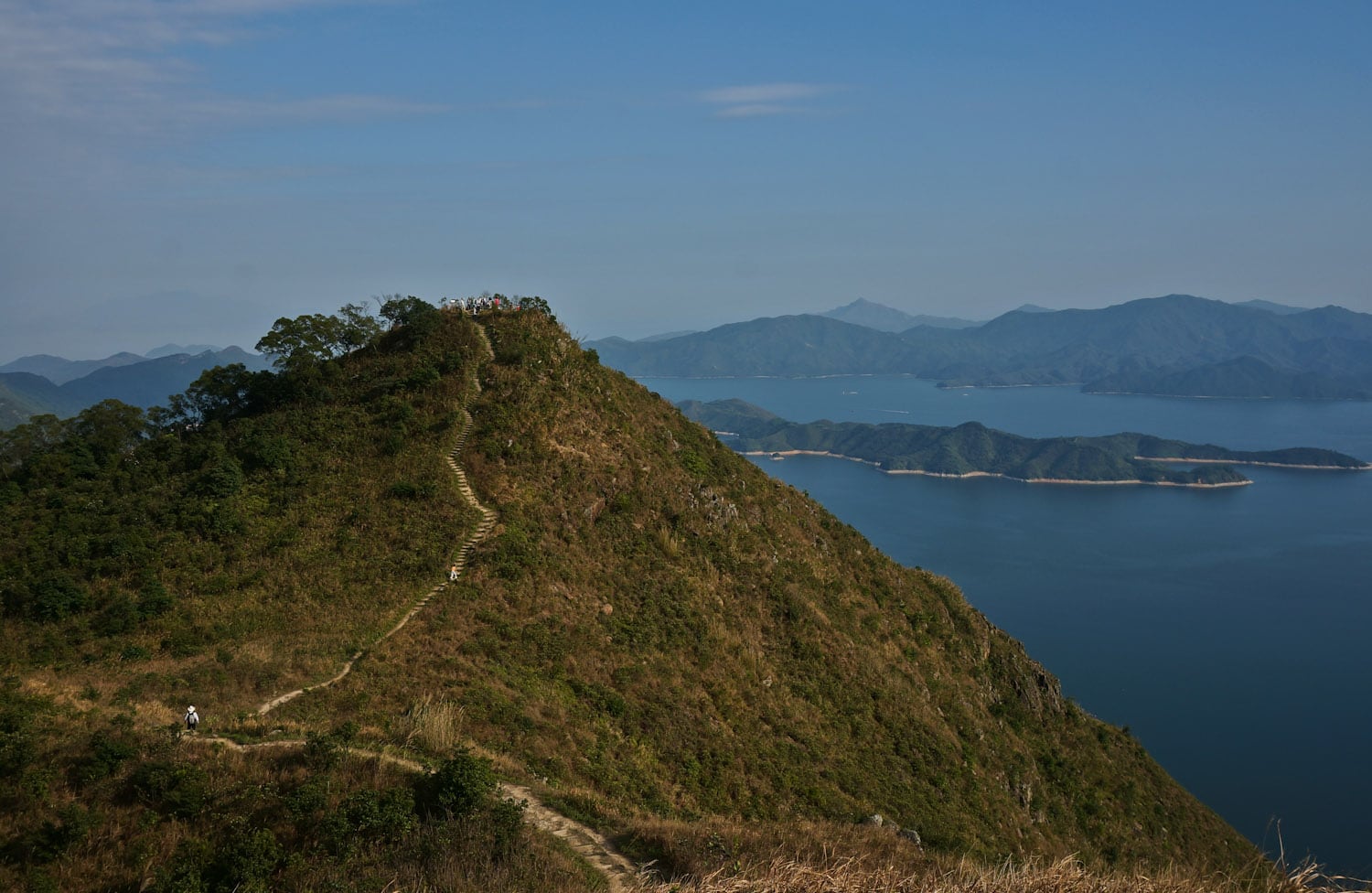
In Hong Kong, sea of clouds usually appear in mountains 800m above sea level in winter and spring. You do not have too many choices and these mountains are: Tai Mo Shan (934m), Lantau Peak (934m), Sunset Peak (869m).
There is a driveway to the top of Tai Mo Shan on Maclehose Trail....
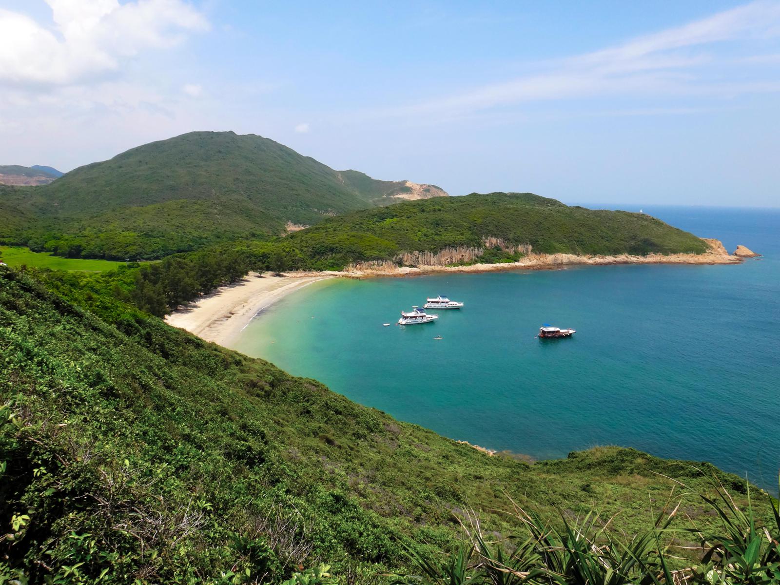
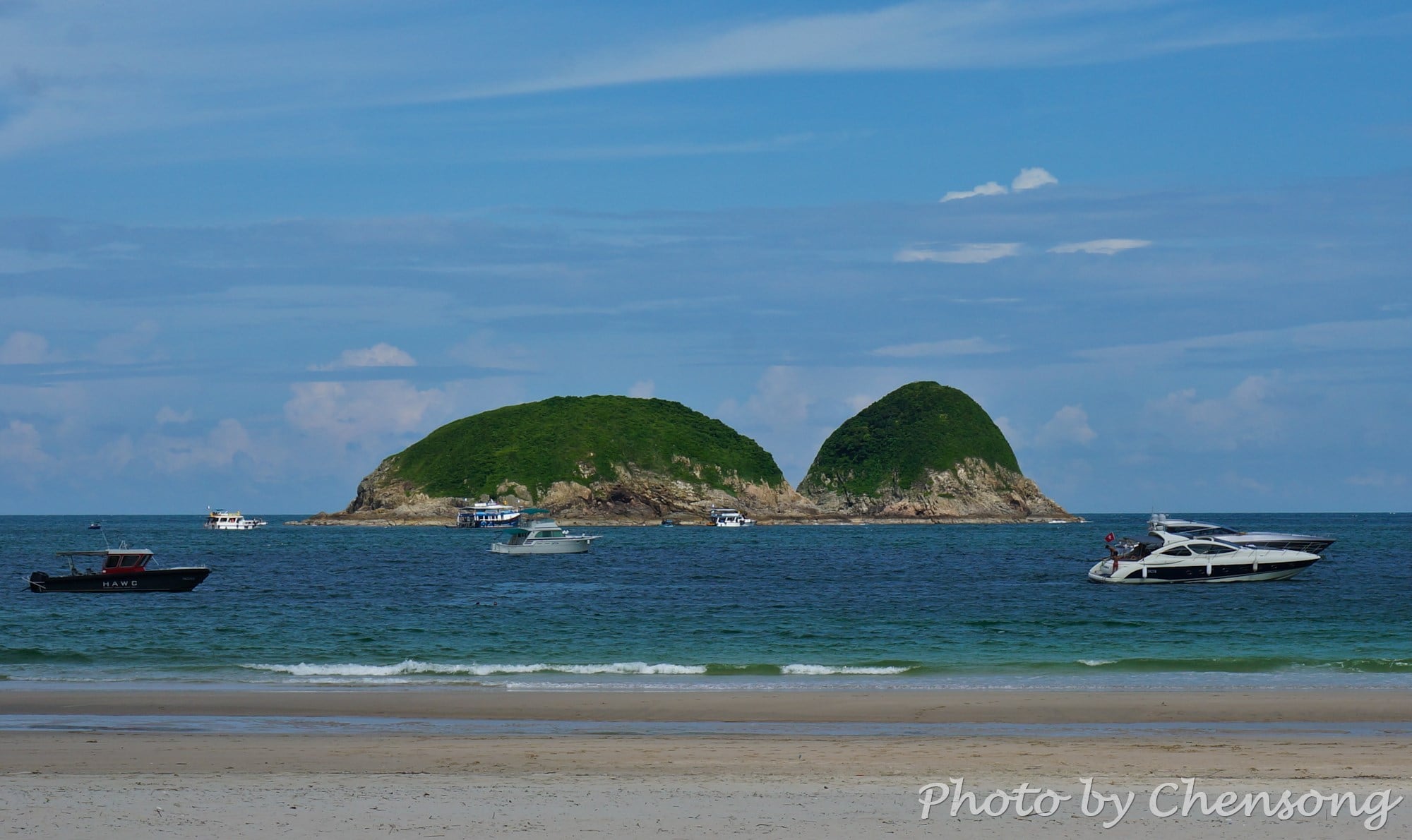
On the southeast corner of High Island at Sai Kung lies Pak Lap Wan, a quiet beach facing Town Island.
In the past, the High Island is a real island and people can only reach Pak Lap Wan by boat from Hong Kong Island, Kowloon or Sai Kung, but with the strong wind and waves in South China Sea, it is...
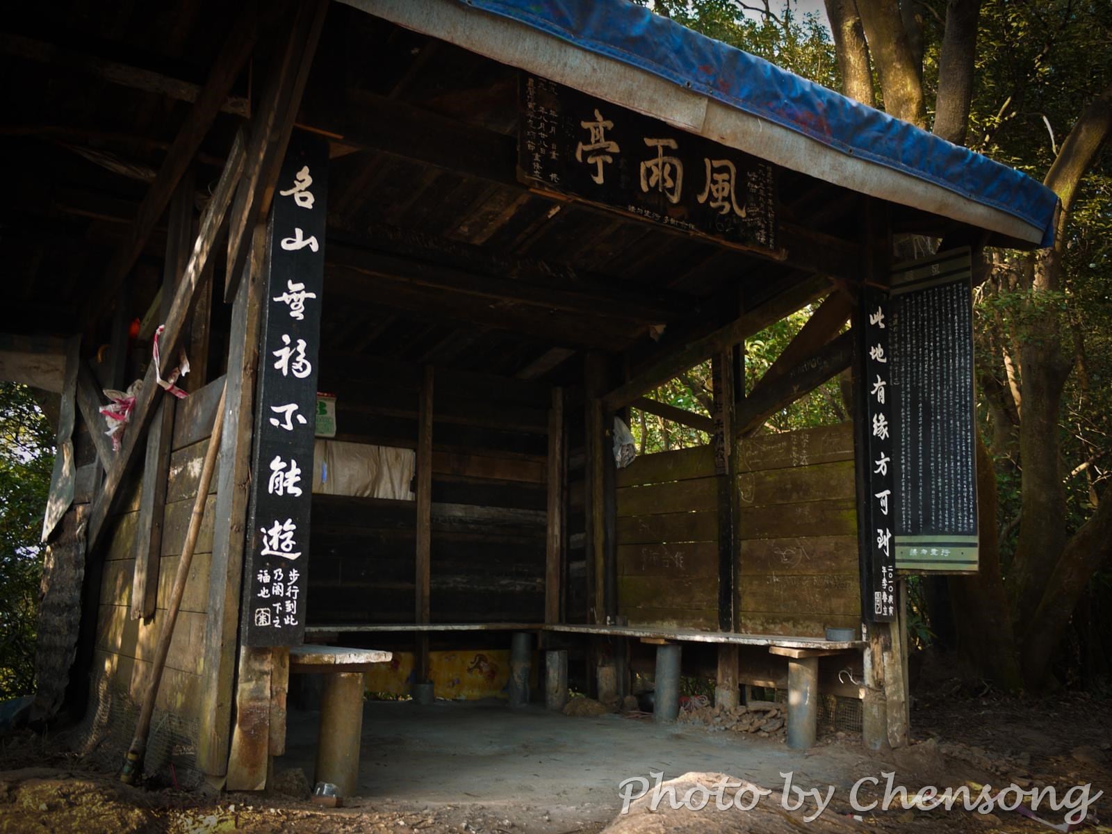
On the old hiking trails, there are a few rain shelters made of wood. These pavilion shelters were built in 1970s and renovated in 1990s for hikers to take a rest and stay away from stormy weather on the wild trails.
The rain shelter in the picture is located on the Lion Rock Old Trail, which was once the hub connecting...
High Island Geo Trail is a well-known bypass near the end of Maclehose Trail 1, where hikers can experience the wonders of nature about 140 million years ago.
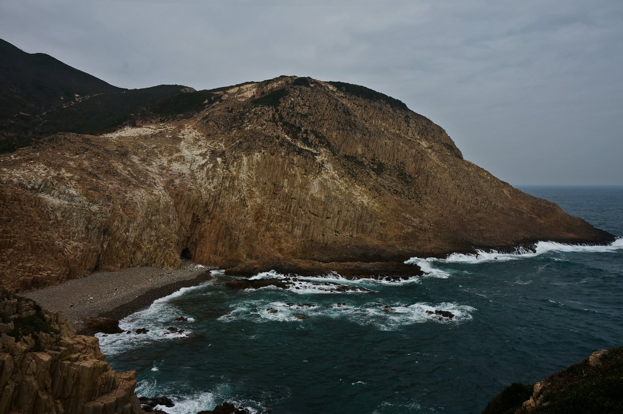
Volcanic activities left thousands of world-class hexagonal rock columns, sea caves and cut-away islands in east Sai Kung.
The geological feature here is unique in China and indeed the world, thus it became...
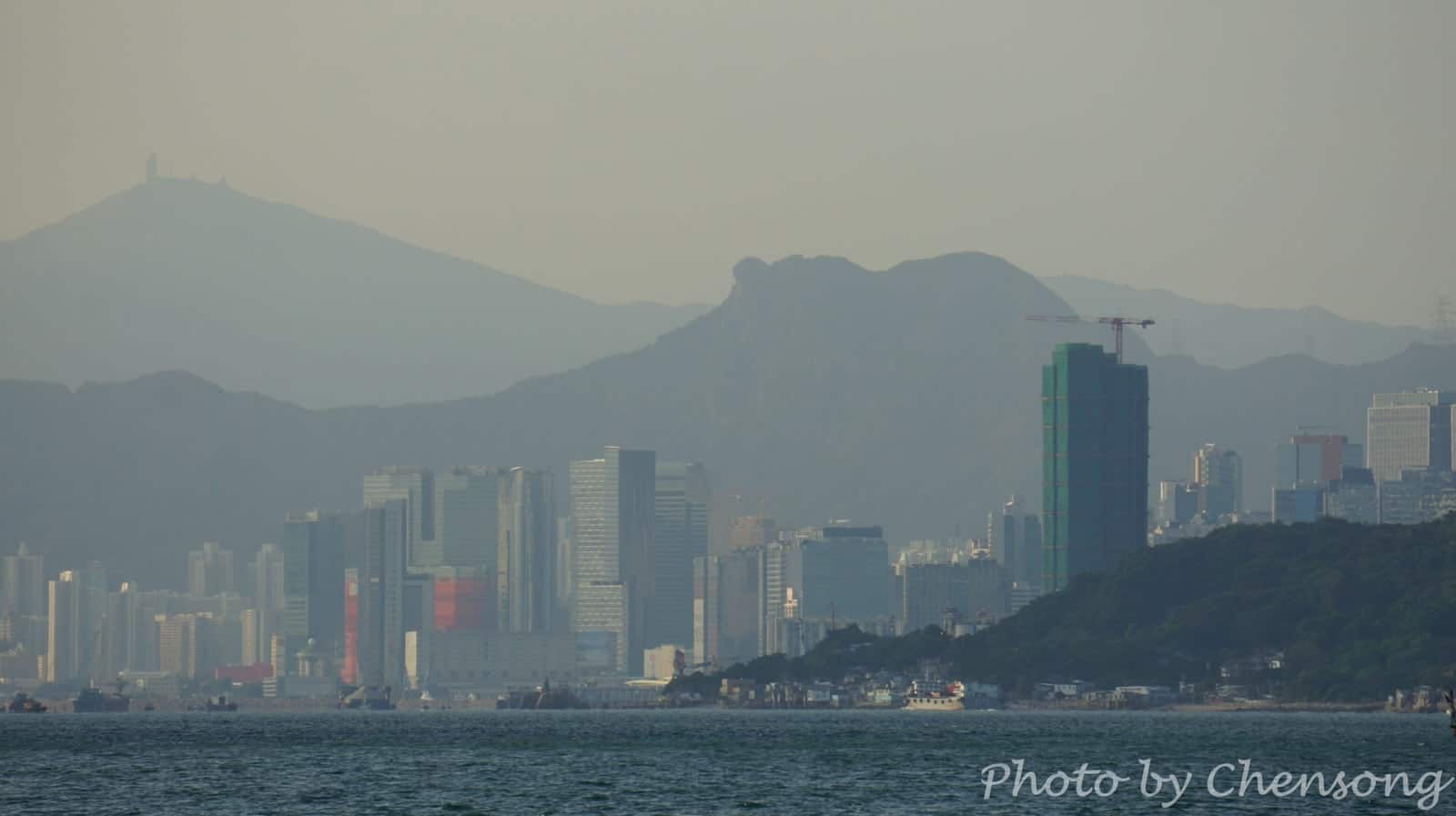
Lion Rock Hill is a symbolic hill to Hong Kong people. There is a popular song and TV series called “Below the Lion Rock” made in 1970s, when Hong Kong was one of the Four Asian Tigers and the city maintained exceptionally high growth rates. The song “Below the Lion Rock” written by Wong Jim, is appreciating the hardworking spirit...
The most spectacular rock wonder in Hong Kong can be seen on the east side of Fa Shan in southeast Sai Kung. Thousands of hexagonal rock columns are spread along the shore, demonstrating to us the formation of volcanic extrusive rocks 140 million years ago (Cretaceous).
To get a perfect view of these rare natural prodigies, follow Maclehose Trail Stage...
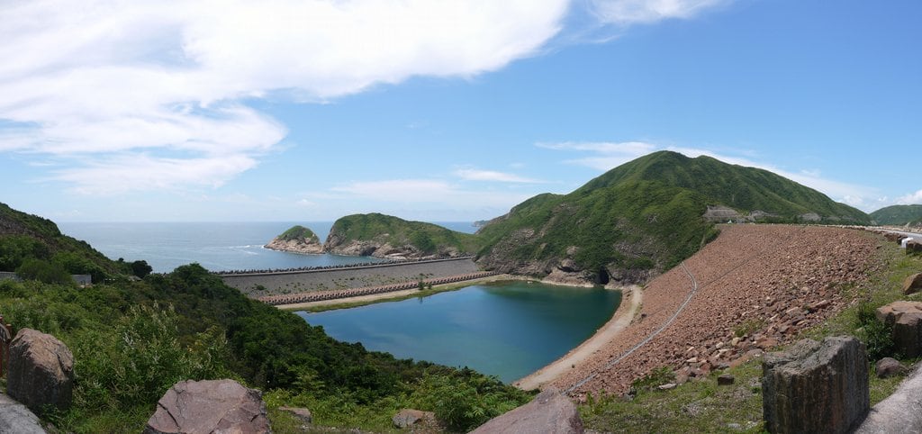
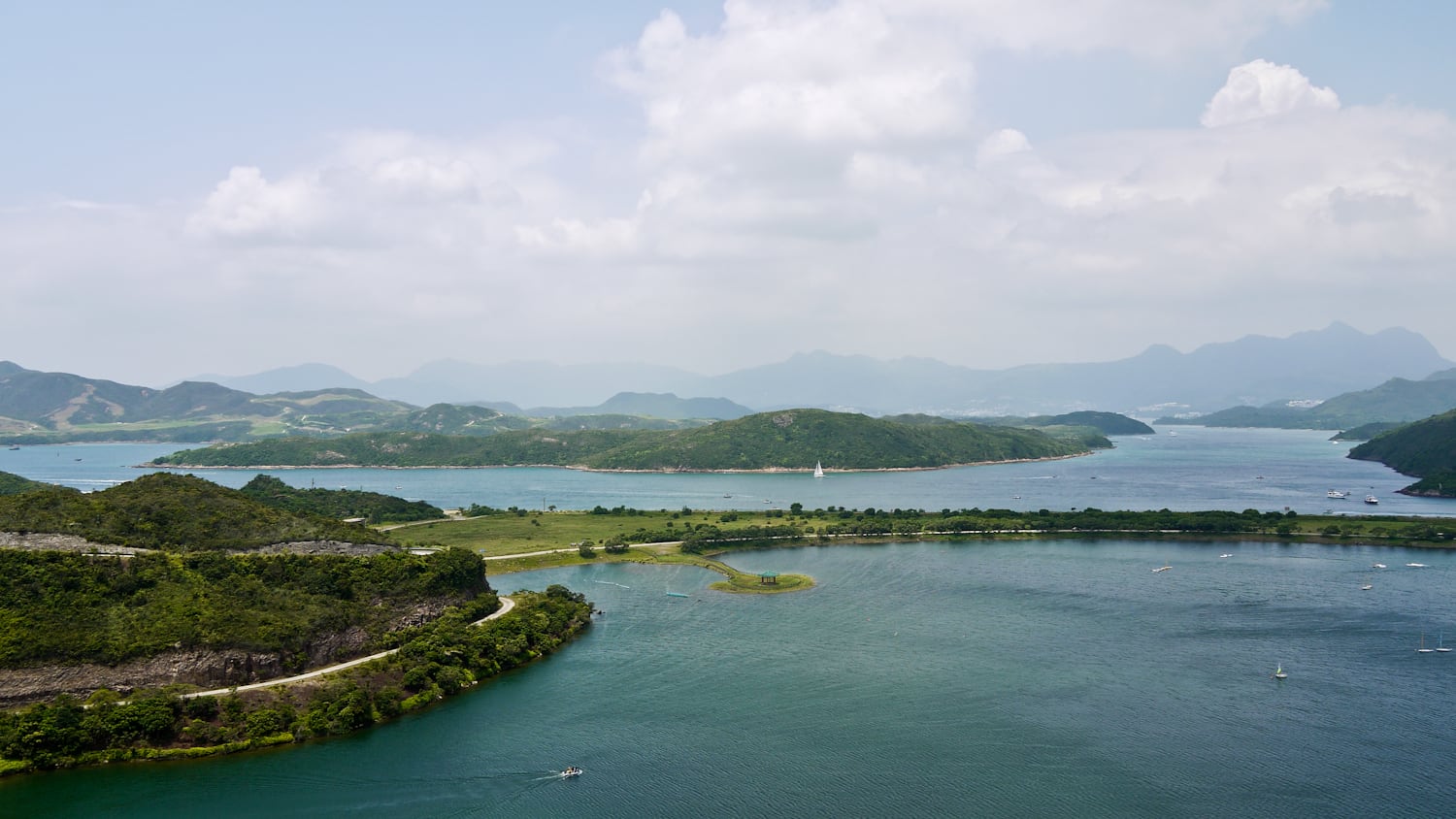
Standing on the West Dam of High Island Reservoir (萬宜水庫), you can see sailing boats and kayaks on your right in an artificial lake. It is the Chong Hing Water Sports Center (創興水上活動中心) and it offers a magnificent view of the countryside. The Center is also a wonderful place for day and tent camping. Campers can feast their eyes on...
Going downhill from Tai Mo Shan, hikers can enjoy the stunning views of 6 bridges across the Rambler Channel (a.k.a. Tsing Yi Channel) and busy container terminals. The most outstanding one is Stonecutters’ Bridge (1.6 km) that connects Tsing Yi Island and Stonecutters Island.
The Stonecutters Island is now actually annexed to the Kowloon peninsula after the land reclamation by the Hong...
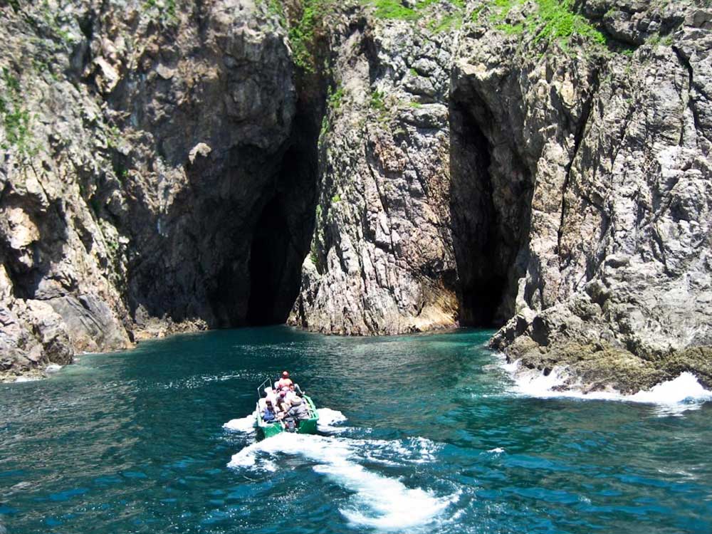
Yin Tsz Ngam literally means Swallow Cave in Chinese. It is actually several caves located at the northeast coast of Tai Yue Ngam Teng where lots of swallows and bats build their nests.
Suffered from the northeast monsoon and tide for millions of years, the coastline of Sai Kung Peninsula is full of amazing geological miracles, such as volcanic rock...
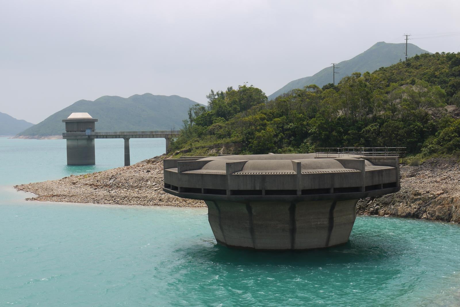
You will see a "fort" at the west side of High Island Reservoir (萬宜水庫) on Maclehose Trail Stage 1. Not sure how it functions. Leave a comment if you know.


