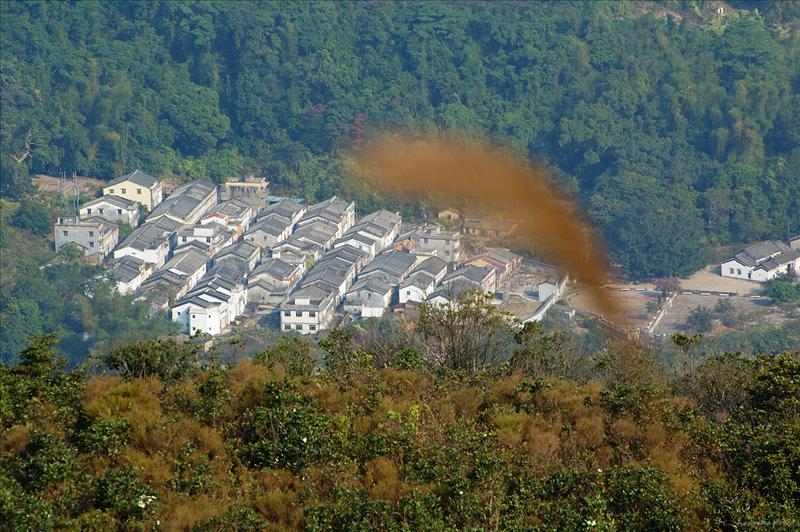
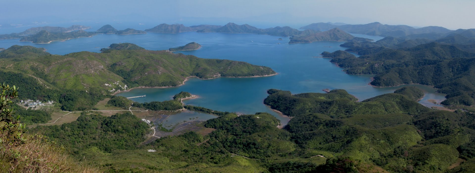
Lai Chi Wo is a Hakka Village located at the west coast of Yan Chau Tong Marine Park. Most Hakka villages in Hong Kong were built on hillsides. Typically backing onto dense fung shui woods, these rural settlements have crop fields in the front to serve as sunning grounds and venues for village activities. Further up are ponds, where fish...
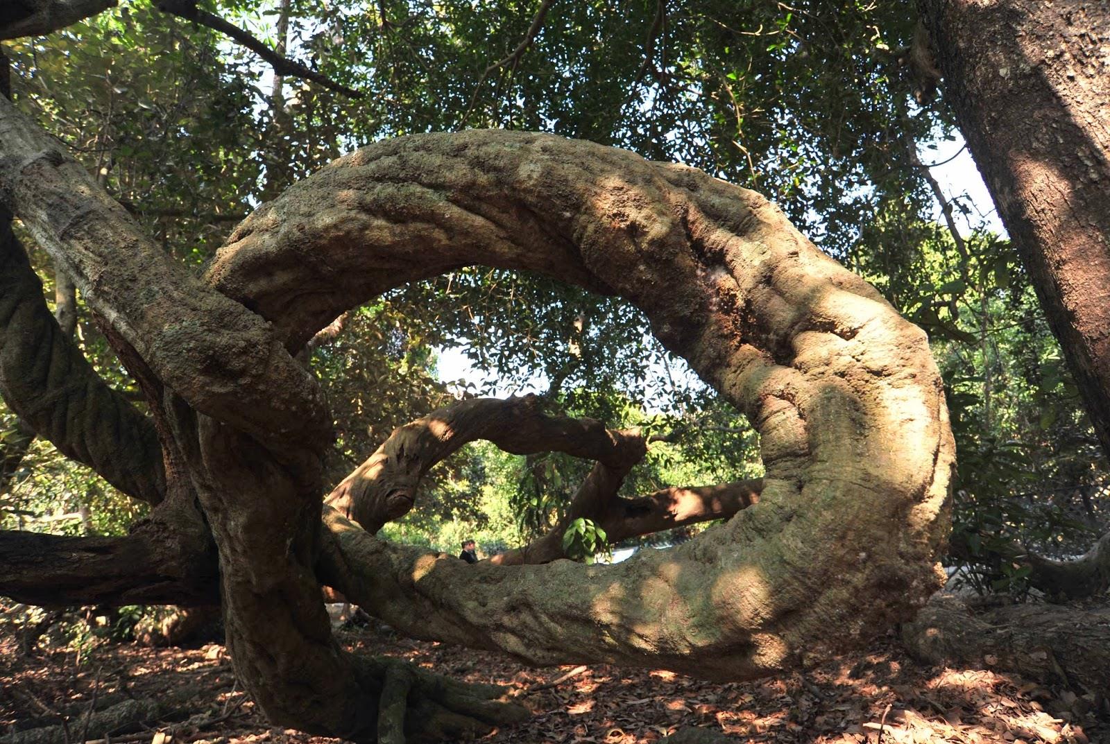
The mudflat east of Lai Chi Wo Village is situated in an intertidal zone. Regularly submerged in water, the mud here is soft and wet. However, it is still drier than the seaside mudflats at low tide, and a few plant species can survive here. Coastal Heritiera is one of them. Coastal Heritiera is very rare in Hong Kong, but...
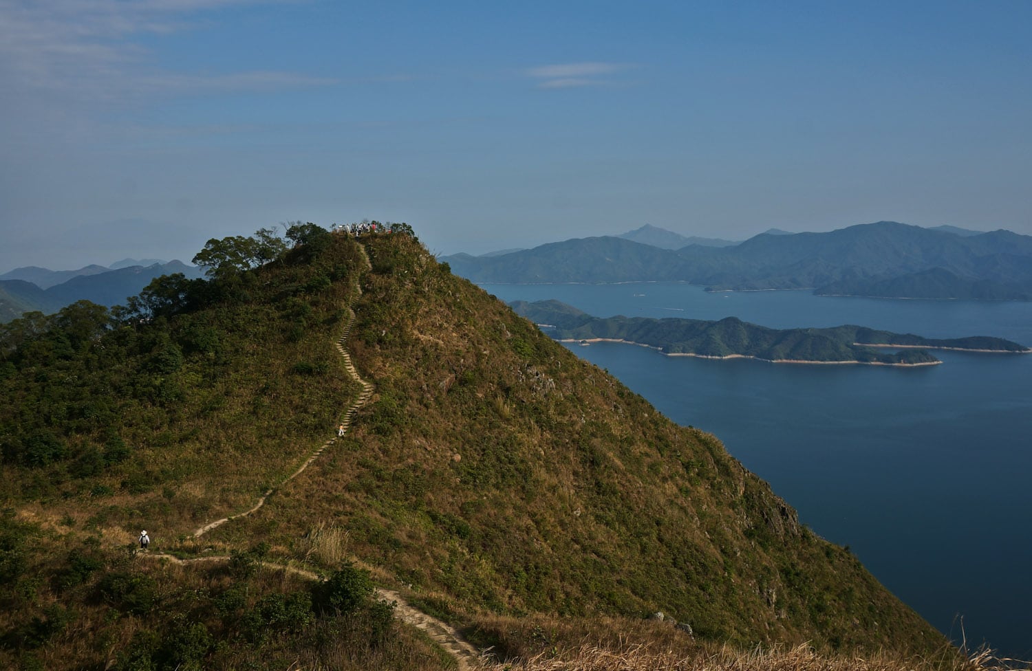
Yan Chau Tong Marine Park is located on the northeast coast of New Territories and north of Plover Cove Country Park. It is well-known for its rich fishery resources and two ecological habitats, mangroves and seagrass bed, attract diverse marine life to the area. Yan Chau Tong is embraced by uplands and well shielded on four sides from the open...
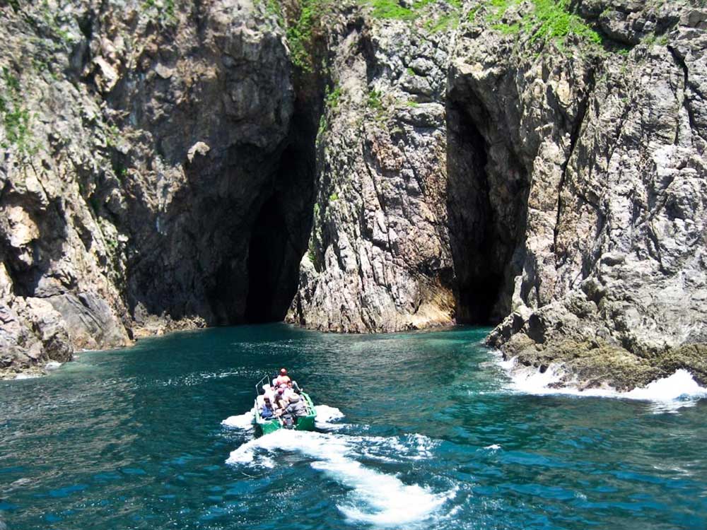
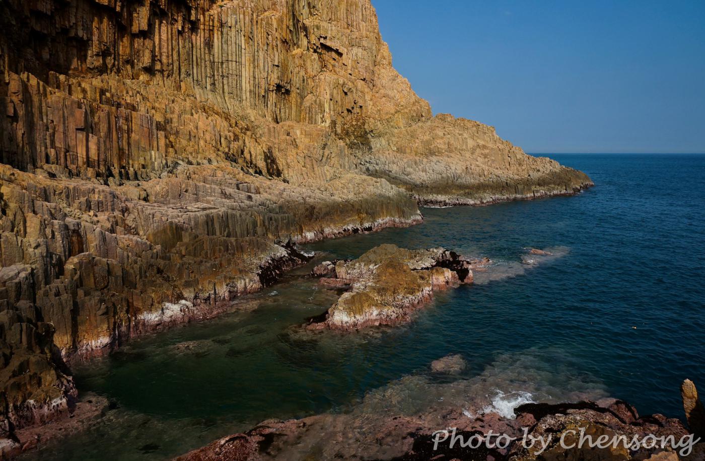
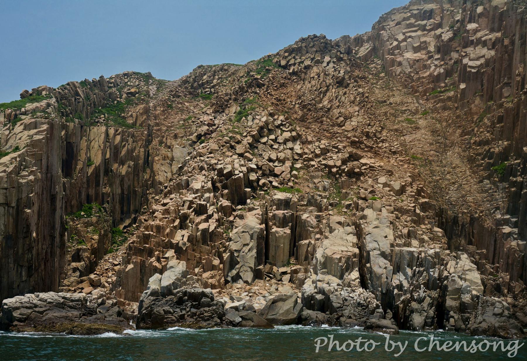
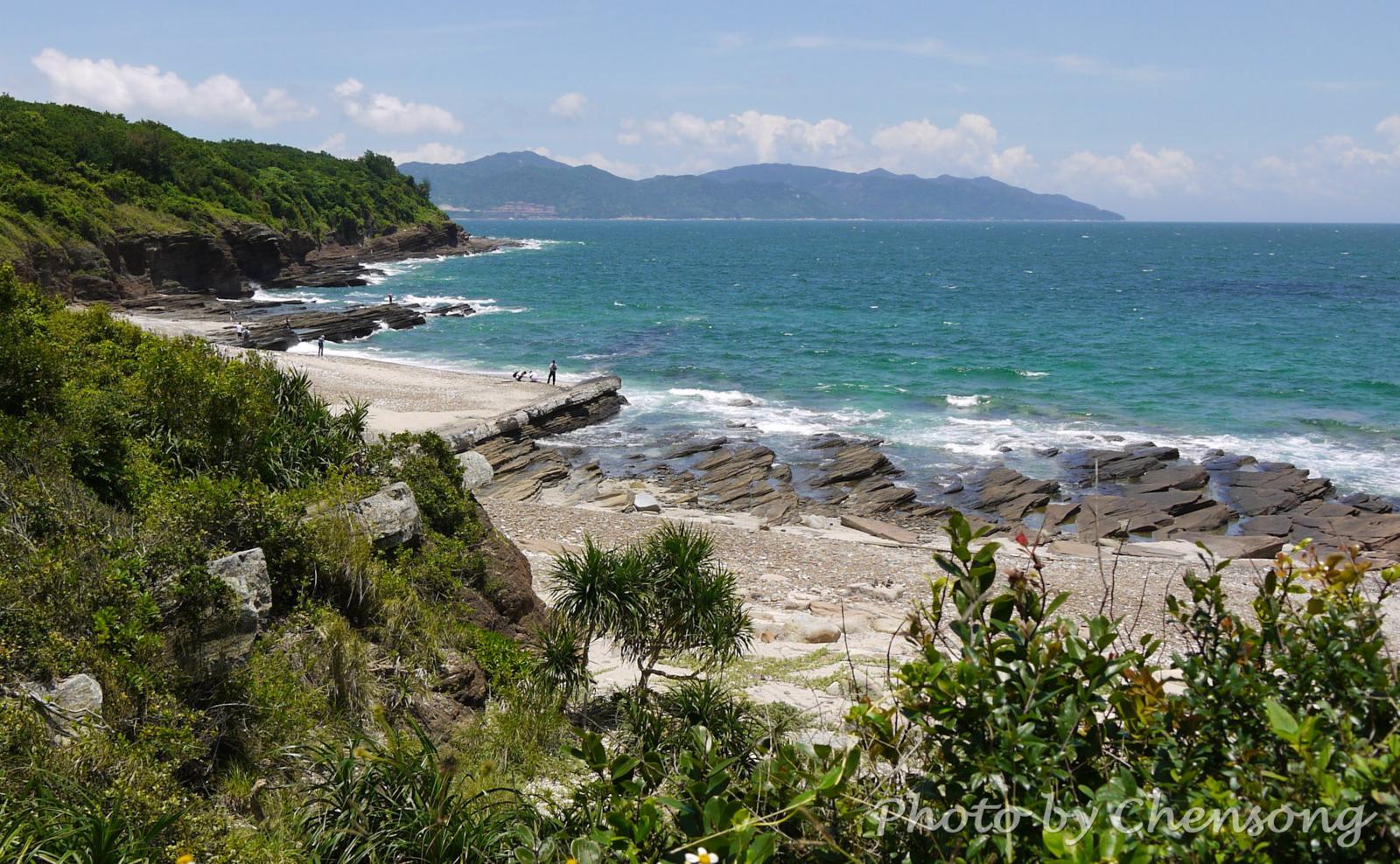
Wang Chau is a small outlying island at the southeast of Sai Kung and belongs to the Hong Kong Global Geopark. It is part of the Early Cretaceous Kau Sai Chau Volcanic Group. Here hikers can see stunning geological sceneries, such as volcanic rock columns, sea caves, sea-cut platforms and so on. The rock minerals in these volcanic rocks are...
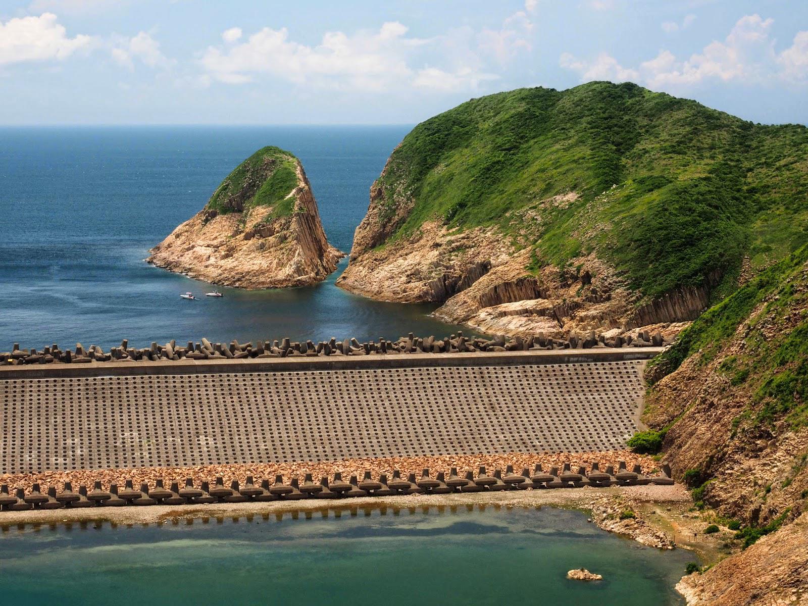
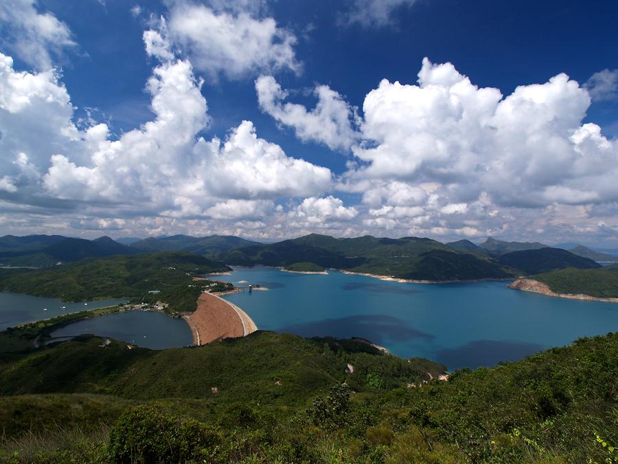
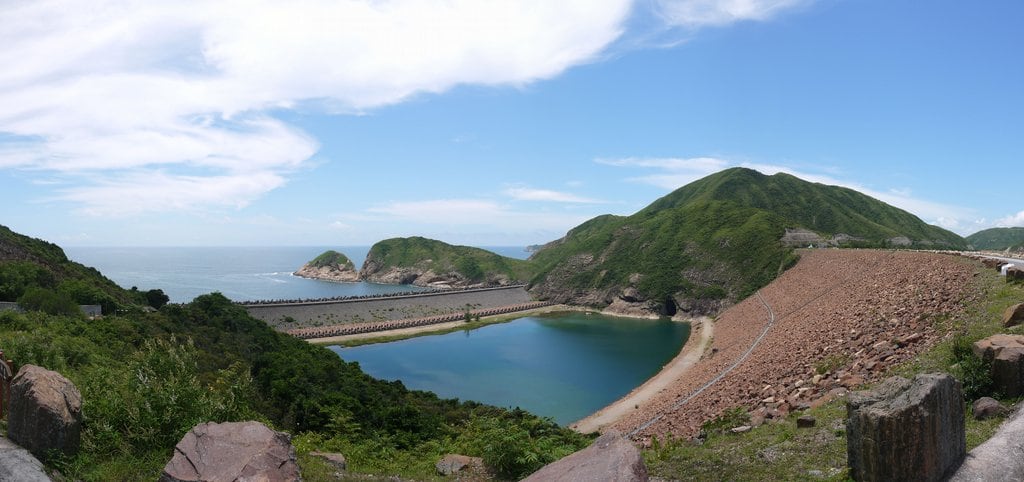
Kwun Mun Channel originally separated the High Island from the Sai Kung Peninsula. But from 1971 to 1978, High Island Reservoir was built to supply fresh water to Hong Kong people. Its West Dam and East Dam connects High Island with the Sai Kung Peninsula, but it is still known for the 4th largest island in Hong Kong. According...
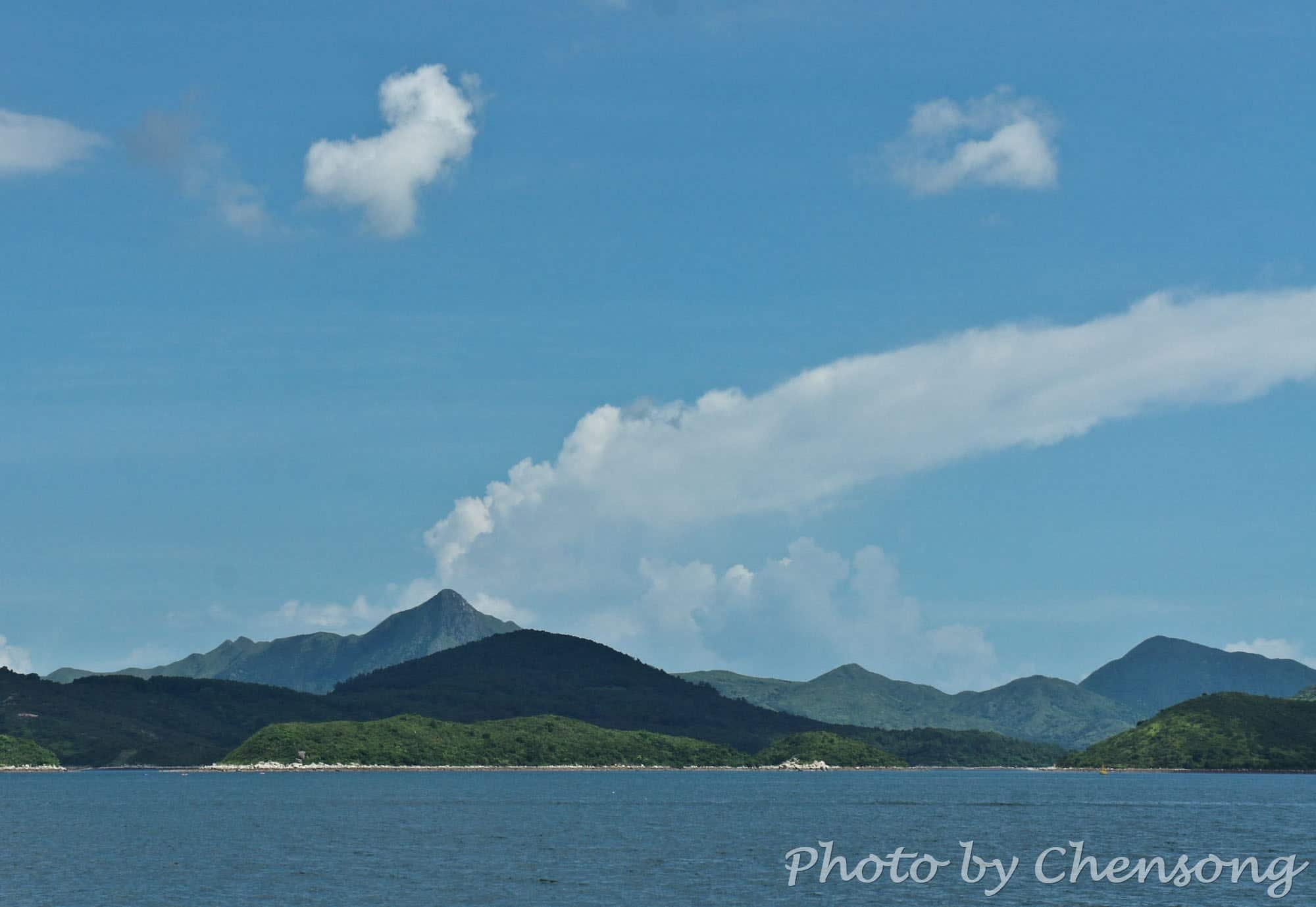
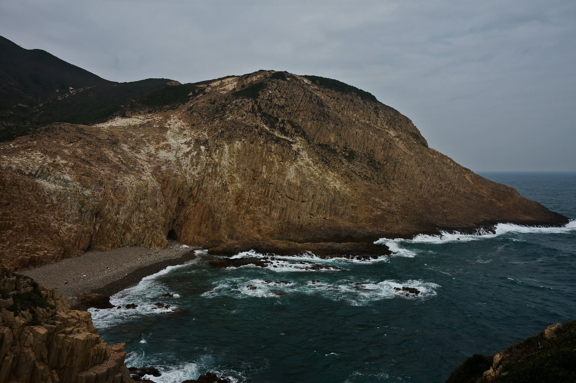
You can tell the "volcano" is fake. Sharp Peak is a tough hiking trail in Sai Kung Country Park for professional hikers. In clear weather, people can see the sharp peak from almost every angle in the east of Sai Kung. The real volcano in Hong Kong actually died millions of years ago, left thousands of hexagonal volcanic rocks along...
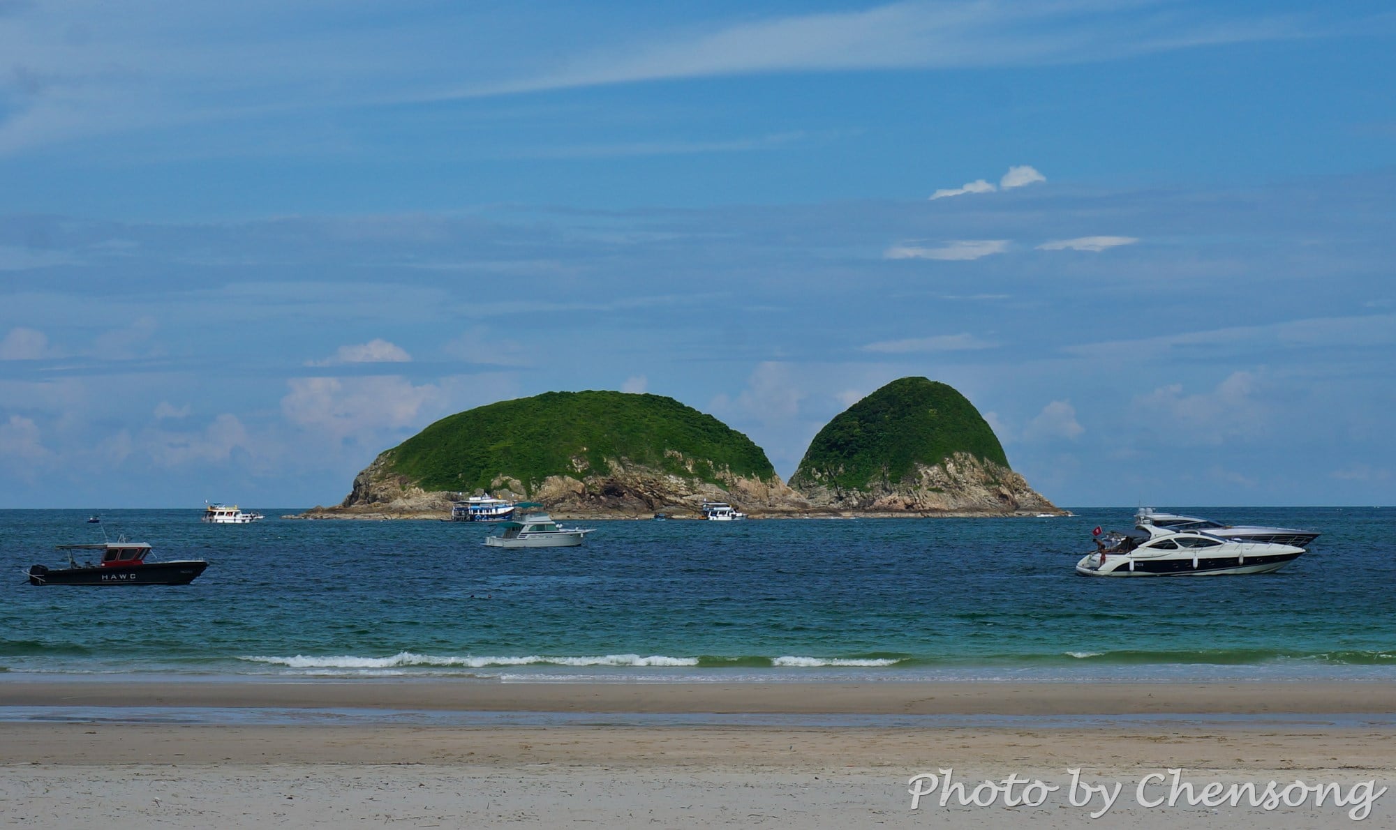
Ninepin Group or Kwo Chau Islands (果洲群島) consists of North Ninepin Island, South Ninepin Island and East Ninepin Island. The North Ninepin Island also includes Sai Mei Chau and Hok Tsai Pai. The island group got its English name "Ninepin" from the traditional British game similar to bowling nowadays. Therefore, when the British seamen first saw the layout of these islands, the...
At the west coast of Tung Ping Chau, hikers can see an interesting geological phenomenon called "Dragon diving into the sea". The white rock strata lying obliquely on the coast looks like the backbone of a dragon and extends from the coast into the sea. It is actually caused by differential weathering between rock strata consisting mostly of quartz and...
High Island Geo Trail is a well-known bypass near the end of Maclehose Trail 1, where hikers can experience the wonders of nature about 140 million years ago. Volcanic activities left thousands of world-class hexagonal rock columns, sea caves and cut-away islands in east Sai Kung. The geological feature here is unique in China and indeed the world, thus it became...
The most spectacular rock wonder in Hong Kong can be seen on the east side of Fa Shan in southeast Sai Kung. Thousands of hexagonal rock columns are spread along the shore, demonstrating to us the formation of volcanic extrusive rocks 140 million years ago (Cretaceous). To get a perfect view of these rare natural prodigies, follow Maclehose Trail Stage...


